Destinations › Andes & Galápagos › Arequipa
Arequipa
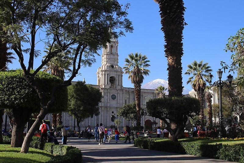
Photo: Draceane · CC BY-SA 4.0
.jpg)
CountryPeru
RegionAndes & Galápagos
Best monthsJan–Dec
Nearest airportsAQP · Rodríguez Ballón International Airport · 7 km
ILQ · Ilo Airport · 146 km
ILQ · Ilo Airport · 146 km
About
Arequipa is a city in southern Peru and the capital of Arequipa Province and the Department of Arequipa. With a projected population of 1,195,700 in 2025, it is the country's second most populous city after Lima.
Source: Wikipedia (CC BY-SA 4.0)
When to go
In Arequipa the warmest month is April (average high 25°) and the coolest is February (21°). Best months to visit: Jan–Dec.
Highlights
From OpenStreetMap records, by distance from the centre.
- Plaza de ArmasSight · 5 m
- Church and vulcansSight · 60 m
- Museo de la Catedral de ArequipaMuseum · 90 m
- Basílica Catedral de ArequipaSight · 94 m
- Complejo Cultural Universidad San AgustinMuseum · 110 m
- Casona UgarteMuseum · 112 m
- Iglesia de la CompañiaSight · 124 m
- Museo Santuarios AndinosMuseum · 135 m
- Casona Tristán de PozoMuseum · 136 m
- Sala de exposiciones Pedro Brescia CafferataMuseum · 144 m
- Complejo Cultural Chávez de la RosaSight · 147 m
- Casa de la CulturaSight · 148 m
For families with children
Parks, beaches and child-friendly places.
Average monthly temperature (°C)
| Jan | Feb | Mar | Apr | May | Jun | Jul | Aug | Sep | Oct | Nov | Dec | |
|---|---|---|---|---|---|---|---|---|---|---|---|---|
| High | 22 | 21 | 24 | 25 | 22 | 22 | 22 | 22 | 23 | 23 | 23 | 22 |
| Low | 8 | 9 | 8 | 7 | 6 | 5 | 5 | 5 | 6 | 6 | 7 | 8 |
Climate data: Wikipedia (CC BY-SA)