Destinations › Brazil, Argentina & Colombia › Salvador
Salvador
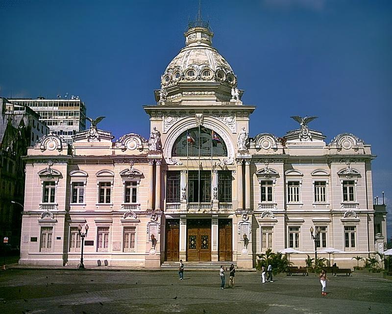
Photo: Wikimedia Commons · CC BY-SA 3.0

CountryBrazil
Best monthsDec
Nearest airportsSSA · Deputado Luiz Eduardo Magalhães International Airport · 19 km
About
Salvador (Brazilian Portuguese: [sawvaˈdoʁ], local pronunciation: [-ˈdo], formerly known as Cidade do São Salvador da Bahia de Todos os Santos, literally "City of the Holy Savior of the Bay of All the Saints") is a Brazilian municipality and capital city of the state of Bahia. Situated in the Zona da Mata in the Northeast Region of Brazil, Salvador is recognized throughout the country and internationally for its cuis
Source: Wikipedia (CC BY-SA 4.0)
When to go
In Salvador the warmest month is February (average high 31°) and the coolest is July (27°). Most rainy days come in June. Best months to visit: Dec.
Highlights
From OpenStreetMap records, by distance from the centre.
- Centro Cabloco Sultão das MatasSight · 210 m
- Centro Caboclo Sultão das MatasSight · 211 m
- Ilê axé obá kaiodêSight · 253 m
- LBVSight · 355 m
- Paz e VidaSight · 602 m
- MSBNSight · 628 m
- Templo Adventista do 7º DiaSight · 732 m
- Igreja de Nossa Senhora de BrotasSight · 785 m
- Capela de Santiago ApóstoloSight · 823 m
- Instituto Frei LudovicoSight · 834 m
- Ilê Axé IatolonumSight · 917 m
- UniversalSight · 917 m
For families with children
Parks, beaches and child-friendly places.
Average monthly temperature (°C)
| Jan | Feb | Mar | Apr | May | Jun | Jul | Aug | Sep | Oct | Nov | Dec | |
|---|---|---|---|---|---|---|---|---|---|---|---|---|
| High | 31 | 31 | 31 | 30 | 28 | 27 | 27 | 27 | 28 | 29 | 30 | 31 |
| Low | 24 | 24 | 24 | 24 | 23 | 22 | 21 | 21 | 22 | 22 | 23 | 24 |
| Rainy days | 9 | 9 | 11 | 16 | 18 | 19 | 18 | 16 | 11 | 8 | 8 | 7 |
Climate data: Wikipedia (CC BY-SA)