Destinations › Vietnam › Ho Chi Minh City
Ho Chi Minh City
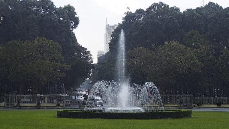
Photo: Pimnl · CC0

CountryVietnam
RegionVietnam
Best monthsNo clear best season
Nearest airportsSGN · Tan Son Nhat International Airport · 7 km
VCA · Can Tho International Airport · 133 km
VCA · Can Tho International Airport · 133 km
About
Ho Chi Minh City, also known as Saigon, is the most populous city and centrally-governed city of Vietnam, with a population of more than 14 million in 2025. Its geography is defined by rivers and canals, of which the largest is the Saigon River.
Source: Wikipedia (CC BY-SA 4.0)
When to go
In Ho Chi Minh City the warmest month is May (average high 35°) and the coolest is December (32°). Most rainy days come in July.
Highlights
From OpenStreetMap records, by distance from the centre.
- Tara & Kys Art GalleryMuseum · 334 m
- Saigon SkydeckSight · 512 m
- Various CannonsSight · 552 m
- Little Japan districtSight · 580 m
- Street Market with PhoSight · 609 m
- Street Art Street (partially demolished)Sight · 627 m
- Liên Đoàn Truyền Giáo Phúc Âm Việt NamSight · 668 m
- Mariamman Hindu TempleSight · 830 m
- Phòng Truyền thống Thành ĐoànMuseum · 859 m
- Miếu Năm Bà Ngũ Hành Tao ĐànSight · 871 m
- Sculpture GardenSight · 892 m
- Công viên bờ sông Sài GònSight · 956 m
Average monthly temperature (°C)
| Jan | Feb | Mar | Apr | May | Jun | Jul | Aug | Sep | Oct | Nov | Dec | |
|---|---|---|---|---|---|---|---|---|---|---|---|---|
| High | 32 | 33 | 34 | 34 | 35 | 34 | 33 | 33 | 33 | 32 | 32 | 32 |
| Low | 23 | 23 | 25 | 26 | 26 | 26 | 25 | 25 | 25 | 25 | 25 | 24 |
| Rainy days | 2 | 1 | 1 | 4 | 13 | 16 | 19 | 17 | 18 | 16 | 9 | 5 |
Climate data: Wikipedia (CC BY-SA)