Destinations › Morocco › Agadir
Agadir
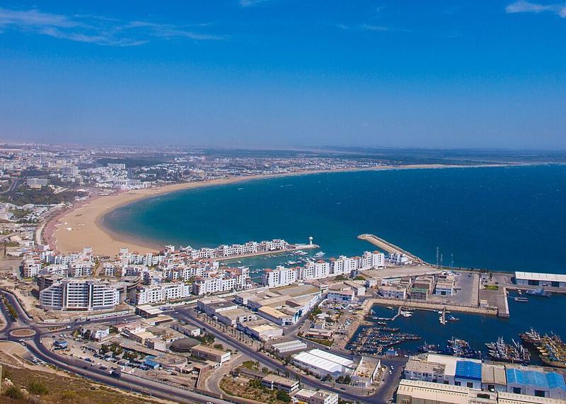
Photo: Marco Riss · CC BY-SA 3.0

CountryMorocco
RegionMorocco
Best monthsJan–Dec
Nearest airportsAGA · Al Massira Airport · 20 km
ESU · Mogador Airport · 109 km
ESU · Mogador Airport · 109 km
About
Agadir is a major city in Morocco, on the shore of the Atlantic Ocean near the foot of the Atlas Mountains, just north of the point where the Souss River flows into the ocean, and 509 kilometres south of Casablanca. Agadir is the capital of the Souss-Massa region and the seat of Agadir-Ida Ou Tanane Prefecture.
Source: Wikipedia (CC BY-SA 4.0)
When to go
In Agadir the warmest month is August (average high 27°) and the coolest is January (21°). Most rainy days come in December. Best months to visit: Jan–Dec.
Highlights
From OpenStreetMap records, by distance from the centre.
- Jardin IhchahchNature & park · 318 m
- Jardin TalborjtNature & park · 479 m
- Mosquée EnahdaSight · 585 m
- Église catholique Sainte-AnneSight · 775 m
- Mosquée Mohamed VSight · 851 m
- Jardin Ibn ZaïdounNature & park · 866 m
- Jardin Lalla MeriemNature & park · 878 m
- Souk El HadSight · 974 m
- Mosquée Badr مسجد بدرSight · 1.1 km
- Jardin CharafNature & park · 1.2 km
- مسجد أيت أوراحتSight · 1.3 km
- Jardin d'OlhaoNature & park · 1.3 km
For families with children
Parks, beaches and child-friendly places.
Average monthly temperature (°C)
| Jan | Feb | Mar | Apr | May | Jun | Jul | Aug | Sep | Oct | Nov | Dec | |
|---|---|---|---|---|---|---|---|---|---|---|---|---|
| High | 21 | 22 | 23 | 23 | 24 | 26 | 27 | 27 | 26 | 26 | 24 | 22 |
| Low | 8 | 10 | 12 | 14 | 16 | 18 | 19 | 20 | 19 | 17 | 13 | 10 |
| Rainy days | 3 | 3 | 3 | 2 | 1 | 0 | 0 | 0 | 0 | 2 | 3 | 4 |
Climate data: Wikipedia (CC BY-SA)