Destinations › New Zealand & Tahiti › Wellington
Wellington
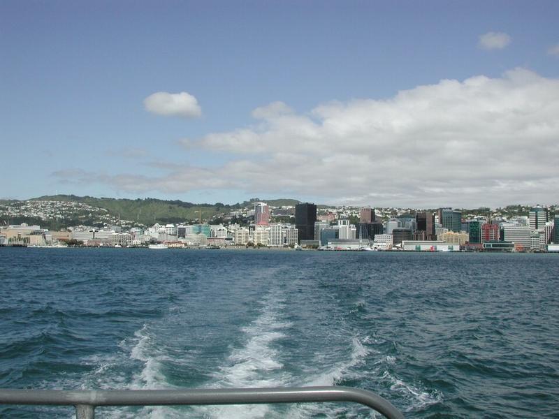
Photo: Pseudopanax at en.wikipedia · Public domain

CountryNew Zealand
RegionNew Zealand & Tahiti
Best monthsNo clear best season
Nearest airportsWLG · Wellington Airport · 5 km
BHE · Woodbourne Airport · 80 km
PMR · Palmerston North Airport · 129 km
BHE · Woodbourne Airport · 80 km
PMR · Palmerston North Airport · 129 km
About
Wellington is the capital city of New Zealand. It is located at the southwestern tip of the North Island, between Cook Strait and the Remutaka Range.
Source: Wikipedia (CC BY-SA 4.0)
When to go
In Wellington the warmest month is February (average high 21°) and the coolest is July (12°). Most rainy days come in June.
Highlights
From OpenStreetMap records, by distance from the centre.
- Wellington City Gallery / Te Whare ToiMuseum · 51 m
- Jack Ilott GreenNature & park · 81 m
- Michael Fowler CentreSight · 95 m
- TheFLOW GalleryMuseum · 169 m
- AVID galleryMuseum · 172 m
- PageMuseum · 183 m
- Powerhouse Community Church / Community HouseSight · 199 m
- NZX Stock TickerSight · 225 m
- Frank Kitts ParkNature & park · 244 m
- SS HikitiaSight · 275 m
- Saint Mary of the AngelsSight · 275 m
- Wellington Central Baptist ChurchSight · 280 m
For families with children
Parks, beaches and child-friendly places.
Average monthly temperature (°C)
| Jan | Feb | Mar | Apr | May | Jun | Jul | Aug | Sep | Oct | Nov | Dec | |
|---|---|---|---|---|---|---|---|---|---|---|---|---|
| High | 20 | 21 | 19 | 17 | 15 | 12 | 12 | 12 | 14 | 15 | 17 | 19 |
| Low | 14 | 14 | 13 | 11 | 9 | 7 | 7 | 7 | 8 | 9 | 10 | 12 |
| Rainy days | 7 | 7 | 9 | 10 | 13 | 13 | 13 | 12 | 11 | 12 | 10 | 10 |
Climate data: Wikipedia (CC BY-SA)