Destinations › Laos & Cambodia › Vientiane
Vientiane
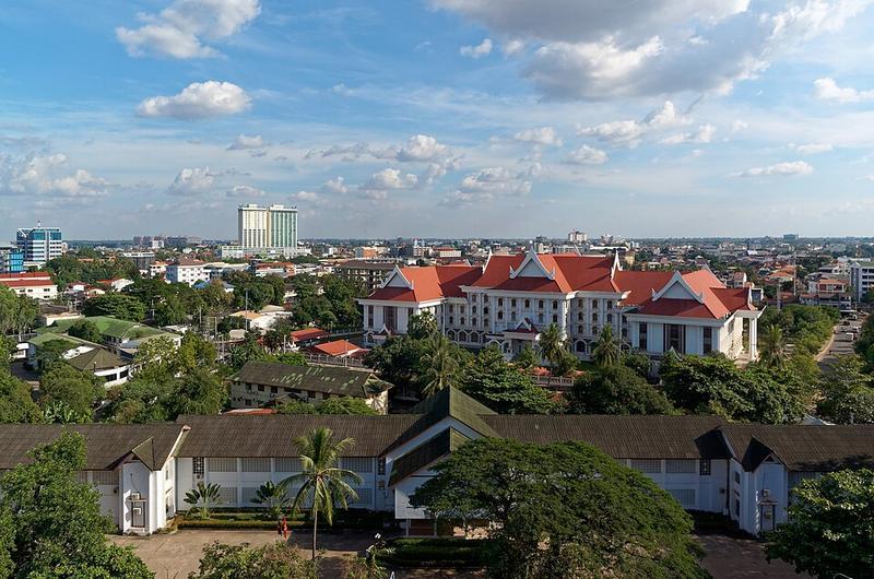
Photo: Jakub Hałun · CC BY-SA 4.0

CountryLaos
RegionLaos & Cambodia
Best monthsJan–Feb, Nov–Dec
Nearest airportsVTE · Wattay International Airport · 7 km
UTH · Udon Thani International Airport · 68 km
LOE · Loei Airport · 113 km
UTH · Udon Thani International Airport · 68 km
LOE · Loei Airport · 113 km
About
Vientiane is the capital and largest city of Laos. Comprising the 5 urban districts of Vientiane Prefecture, the city is located on the banks of the Mekong, close to the border with Thailand.
Source: Wikipedia (CC BY-SA 4.0)
When to go
In Vientiane the warmest month is April (average high 35°) and the coolest is December (29°). Most rainy days come in August. Best months to visit: Jan–Feb, Nov–Dec.
Highlights
From OpenStreetMap records, by distance from the centre.
- People's Security MuseumMuseum · 75 m
- ອະນຸສອນສະຖານ ປະທານ ສຸພານຸວົງMuseum · 116 m
- Saysettha Public ParkNature & park · 209 m
- Lao People's Army History MuseumMuseum · 299 m
- Wat Pon SaathSight · 366 m
- Saphang Lenh Public ParkNature & park · 504 m
- TempleSight · 578 m
- Pha that luanhSight · 624 m
- ວັດຫ້ອງໄກ່ແກ້ວSight · 748 m
- ທາດຫຼວງSight · 781 m
- Wat That Luang TaiSight · 825 m
- ເດີ່ນຕີດອກ ປີກໄກ່ ມາໂນລັກNature & park · 1.2 km
For families with children
Parks, beaches and child-friendly places.
Average monthly temperature (°C)
| Jan | Feb | Mar | Apr | May | Jun | Jul | Aug | Sep | Oct | Nov | Dec | |
|---|---|---|---|---|---|---|---|---|---|---|---|---|
| High | 29 | 31 | 33 | 35 | 34 | 33 | 32 | 31 | 32 | 32 | 31 | 29 |
| Low | 18 | 19 | 22 | 24 | 25 | 25 | 25 | 25 | 25 | 24 | 22 | 19 |
| Rainy days | 2 | 2 | 5 | 7 | 15 | 18 | 20 | 21 | 17 | 8 | 2 | 1 |
Climate data: Wikipedia (CC BY-SA)