Destinations › Vietnam coast & mountains › Sa Pa
Sa Pa
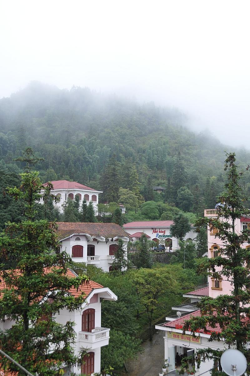
Photo: ChieuTimViet · CC BY 3.0

CountryVietnam
Best monthsNo clear best season
Nearest airportsDIN · Dien Bien Phu Airport · 135 km
About
Sa Pa is a former district-level town in Lào Cai province in the Northwest region of Vietnam. It covers an area of 685 km2 and had a population of 70,663 as of 2022.
Source: Wikipedia (CC BY-SA 4.0)
When to go
In Sa Pa the warmest month is July (average high 23°) and the coolest is January (12°). Most rainy days come in July.
Highlights
From OpenStreetMap records, by distance from the centre.
- Town SquareSight · 49 m
- Our Lady of Rosary Church - Sapa Catholic ParishSight · 80 m
- Không Gian Văn Hóa - Sapa Tinh Hoa Hội TụNature & park · 85 m
- Bảo Tàng SapaMuseum · 165 m
- Muong hoa valleySight · 225 m
- Đền Hàng PhốSight · 294 m
- THIÊN TRƯỜNG BẢO ĐIỆNSight · 325 m
- Impossible to pass, blockedSight · 621 m
- impossible to pass, blockedSight · 715 m
- Ham Rong GardenSight · 778 m
- Heaven SapaSight · 840 m
- Small shrineSight · 867 m
Average monthly temperature (°C)
| Jan | Feb | Mar | Apr | May | Jun | Jul | Aug | Sep | Oct | Nov | Dec | |
|---|---|---|---|---|---|---|---|---|---|---|---|---|
| High | 12 | 14 | 18 | 21 | 22 | 23 | 23 | 23 | 22 | 19 | 16 | 13 |
| Low | 6 | 8 | 11 | 14 | 16 | 18 | 18 | 17 | 16 | 14 | 10 | 7 |
| Rainy days | 16 | 16 | 16 | 18 | 22 | 24 | 26 | 23 | 20 | 19 | 14 | 14 |
Climate data: Wikipedia (CC BY-SA)