Destinations › African islands & capitals › Kigali
Kigali
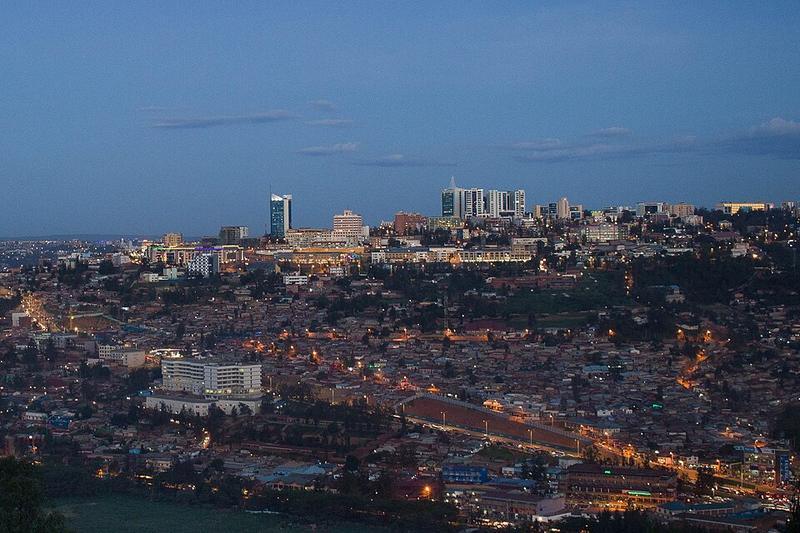
Photo: Adrien K · CC BY 2.0

CountryRwanda
Best monthsJun–Aug
Nearest airportsKGL · Kigali International Airport · 3 km
GOM · Goma International Airport · 102 km
KHX · Savannah Airstrip · 145 km
GOM · Goma International Airport · 102 km
KHX · Savannah Airstrip · 145 km
About
Kigali, officially the City of Kigali also known as Kigali City, is the capital, largest city, and a province-level administrative unit of Rwanda. It is located near the country's geographic centre, in a landscape of rolling hills marked by valleys and ridges connected by steep slopes.
Source: Wikipedia (CC BY-SA 4.0)
When to go
In Kigali the warmest month is August (average high 28°) and the coolest is May (26°). Most rainy days come in April. Best months to visit: Jun–Aug.
Highlights
From OpenStreetMap records, by distance from the centre.
- Restauration Church RemeraSight · 428 m
- Kingdom Hall of Jehovah's WitnessesSight · 554 m
- Catholic ChurchSight · 900 m
- Rigina PacisSight · 953 m
- Christian Life AssemblySight · 1.1 km
- GiporosoSight · 1.2 km
- Miracle ChurchSight · 1.3 km
- Miracle Centre Church RemeraSight · 1.3 km
- UMUSIGITI WA IMAN ALI(A.s)Sight · 1.5 km
Average monthly temperature (°C)
| Jan | Feb | Mar | Apr | May | Jun | Jul | Aug | Sep | Oct | Nov | Dec | |
|---|---|---|---|---|---|---|---|---|---|---|---|---|
| High | 28 | 28 | 27 | 26 | 26 | 27 | 27 | 28 | 28 | 27 | 26 | 27 |
| Low | 16 | 16 | 16 | 16 | 17 | 16 | 15 | 16 | 16 | 16 | 16 | 16 |
| Rainy days | 8 | 8 | 13 | 14 | 10 | 2 | 1 | 4 | 8 | 12 | 14 | 10 |
Climate data: Wikipedia (CC BY-SA)