Destinations › Aegean coast › Ayvalık
Ayvalık
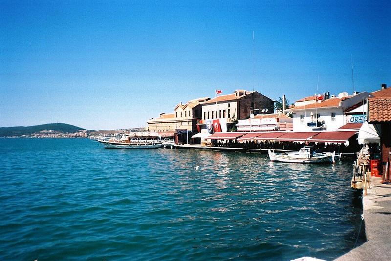
Photo: Radosław Botev · Attribution

CountryTurkey
RegionAegean coast
Best monthsMay–Jun, Sep–Oct
Nearest airportsMJT · Mytilene International Airport · 30 km
EDO · Balıkesir Koca Seyit Airport · 38 km
ADB · Adnan Menderes International Airport · 121 km
EDO · Balıkesir Koca Seyit Airport · 38 km
ADB · Adnan Menderes International Airport · 121 km
About
Ayvalık is a municipality and district of Balıkesir Province, Turkey. Its area is 305 km2, and its population is 75,126.
Source: Wikipedia (CC BY-SA 4.0)
When to go
In Ayvalık the warmest month is July (average high 33°) and the coolest is January (12°). Most rainy days come in December. Best months to visit: May–Jun, Sep–Oct.
Highlights
From OpenStreetMap records, by distance from the centre.
Average monthly temperature (°C)
| Jan | Feb | Mar | Apr | May | Jun | Jul | Aug | Sep | Oct | Nov | Dec | |
|---|---|---|---|---|---|---|---|---|---|---|---|---|
| High | 12 | 13 | 16 | 20 | 25 | 30 | 33 | 33 | 28 | 23 | 18 | 13 |
| Low | 5 | 5 | 7 | 10 | 15 | 19 | 22 | 22 | 18 | 14 | 10 | 6 |
| Rainy days | 8 | 8 | 6 | 5 | 4 | 2 | 2 | 1 | 3 | 4 | 7 | 9 |
Climate data: Wikipedia (CC BY-SA)